Mississippi River Historic Ribbon Map - RS5071
$10.00
Sold out
was $20.00 Save 50%
Sold out
Product Details
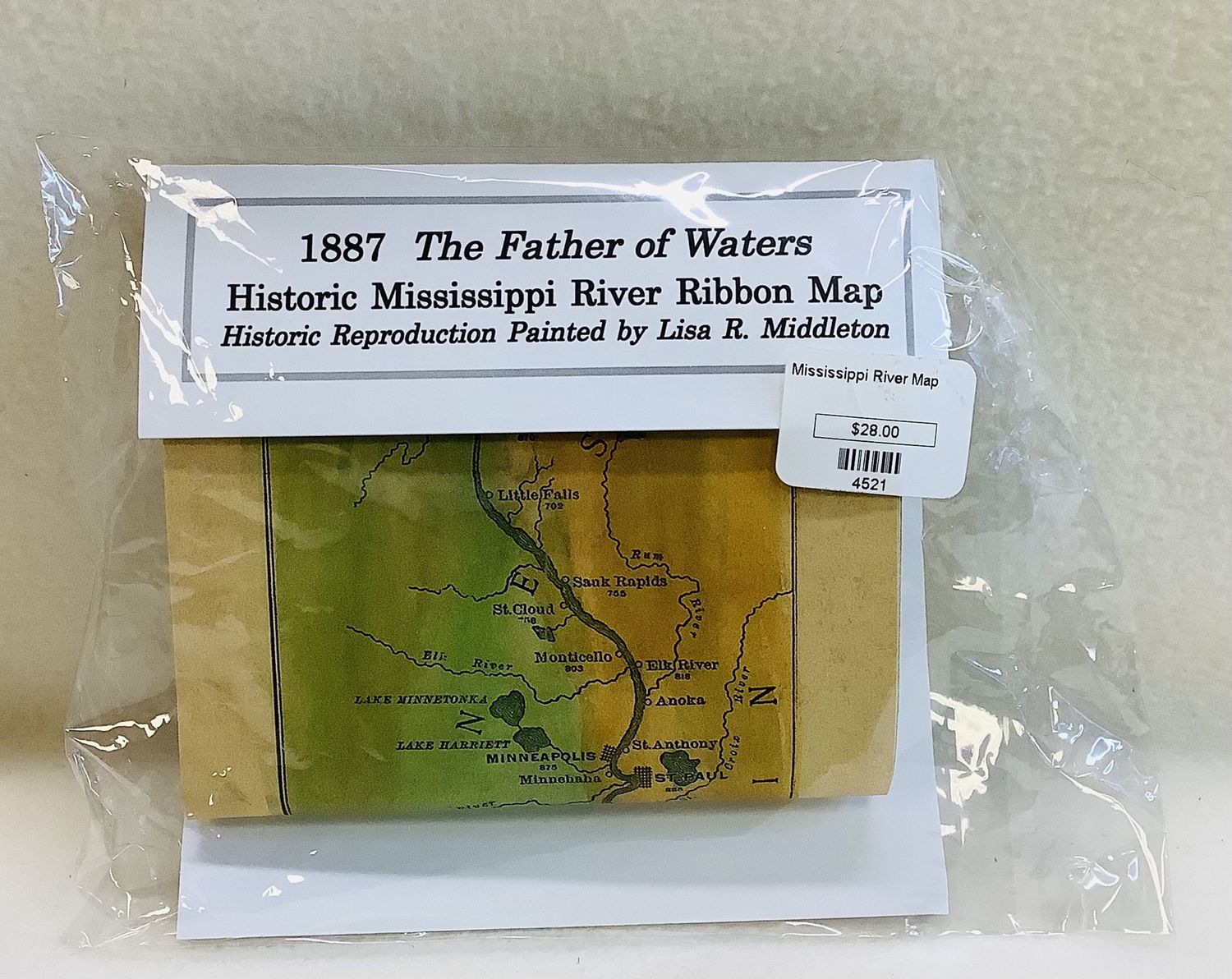
This Mississippi River Historic Ribbon Map is a hand-painted gift print by Wisconsin Artist, Lisa Middleton, measuring 4.75" x 38.75". This print is a color replica of an 1887 black and white map drawn by journalist and explorer Willard Glazier. The map includes the whole Mississippi River from its headwaters to the Gulf of Mexico and includes most towns currently on the river, and some that are no longer there. Ribbon maps were used by steamboat passengers to follow the progress of the boat along the length of the Mississippi River. NEW.
Save this product for later
Mississippi River Historic Ribbon Map - RS5071

